 |
|

|
|
|
Find the cemetery at Matyldów | |||||||
This cemetery belongs to the gmina Rybno, the powiat of Sochaczew, the voivodship of Mazowieckie. The geographic coordinates of this cemetery are
| |||||||
N-34-137/138 Warszawa-Zachód - Mapa topograficzna Polski 1:100 000. Published with the friendly permission of Zarząd Geografii Wojskowej - Military Geography Division of J2 Polish Armed Forces General Staff, Ref-Nr. 249/N of 7 October 2005. 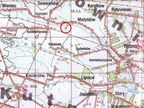 (145.0.0.loc) | |||||||
Cemetery seen from the asphalt street north of it. 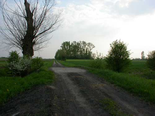 (145.2.1.loc) Photo by: Jutta Dennerlein, 2006 | |||||||